The
Unclog Plan
Micromobility.NYC’s Vision for NYC
NYC,
This plan is a framework to address one of our biggest problems: Our Car Problem. It is a road map and pledge for mayoral candidates.
The public is highly encouraged to endorse and comment on the plan here:
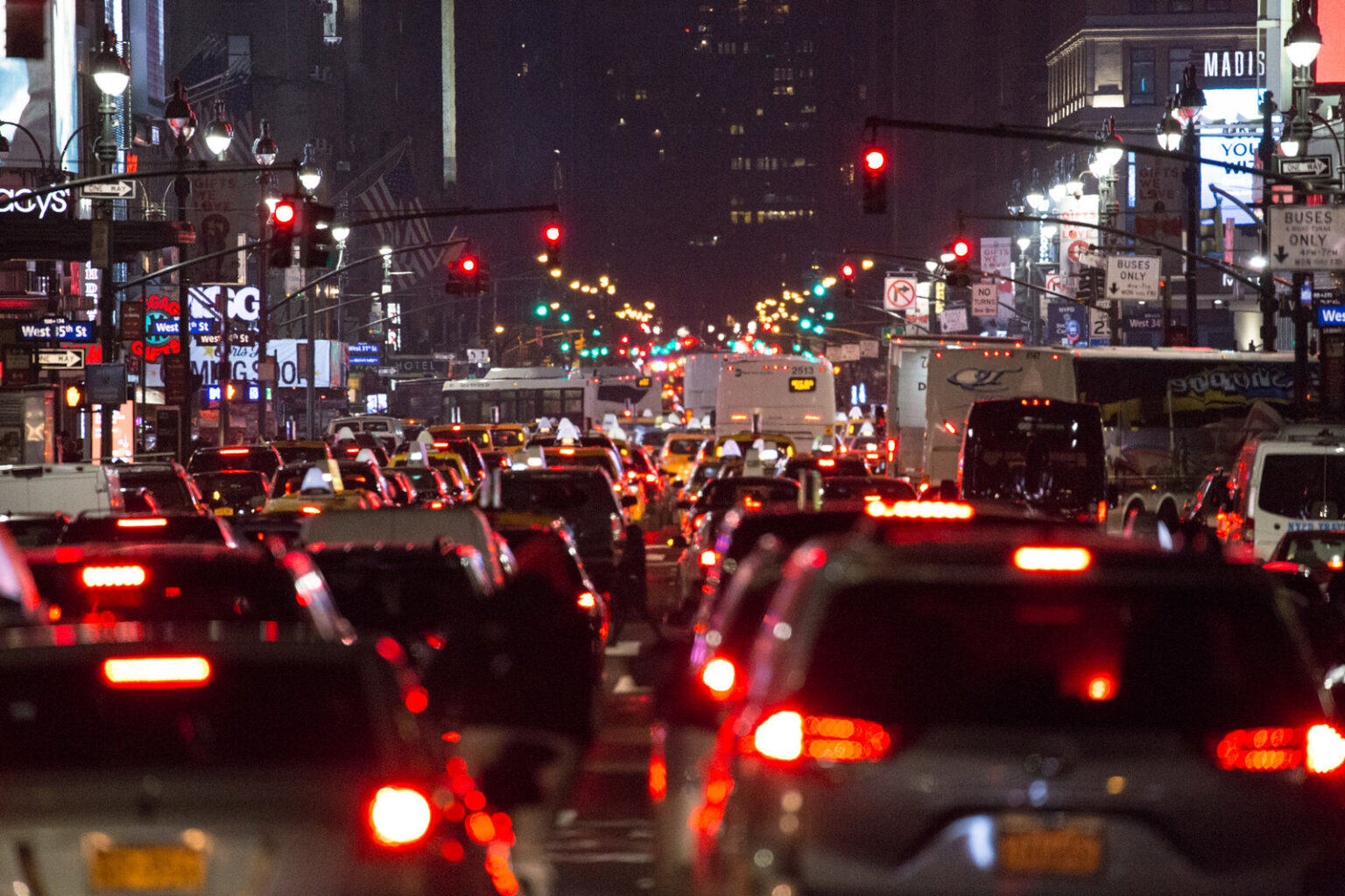
“OUR STREETS ARE CLOGGED.”
– MISER
|
TRAFFIC CIRCULATION
Reroute streets to prioritize pedestrians and cyclists over cars |
PEDESTRIAN CORES Create mostly car free central cores in every neighborhood |
|
UNIVERSAL STREET TREATMENTS
Install daylighting, bulb outs, raised crosswalks, etc. at every intersection |
NEIGHBORHOOD STREETS
Prioritize residents over vehicles on residential streets |
This plan demands many street treatments and design philosophies that work together to create a street-scape that is functional beyond the sum of its parts. As such, it should be implemented in whole-neighborhood approaches where possible.
In other words, one neighborhood should be selected to receive maximal safety measures, to demonstrate to the entire city what the completed plan looks and feels like on a day to day basis and how this benefits those that live here.
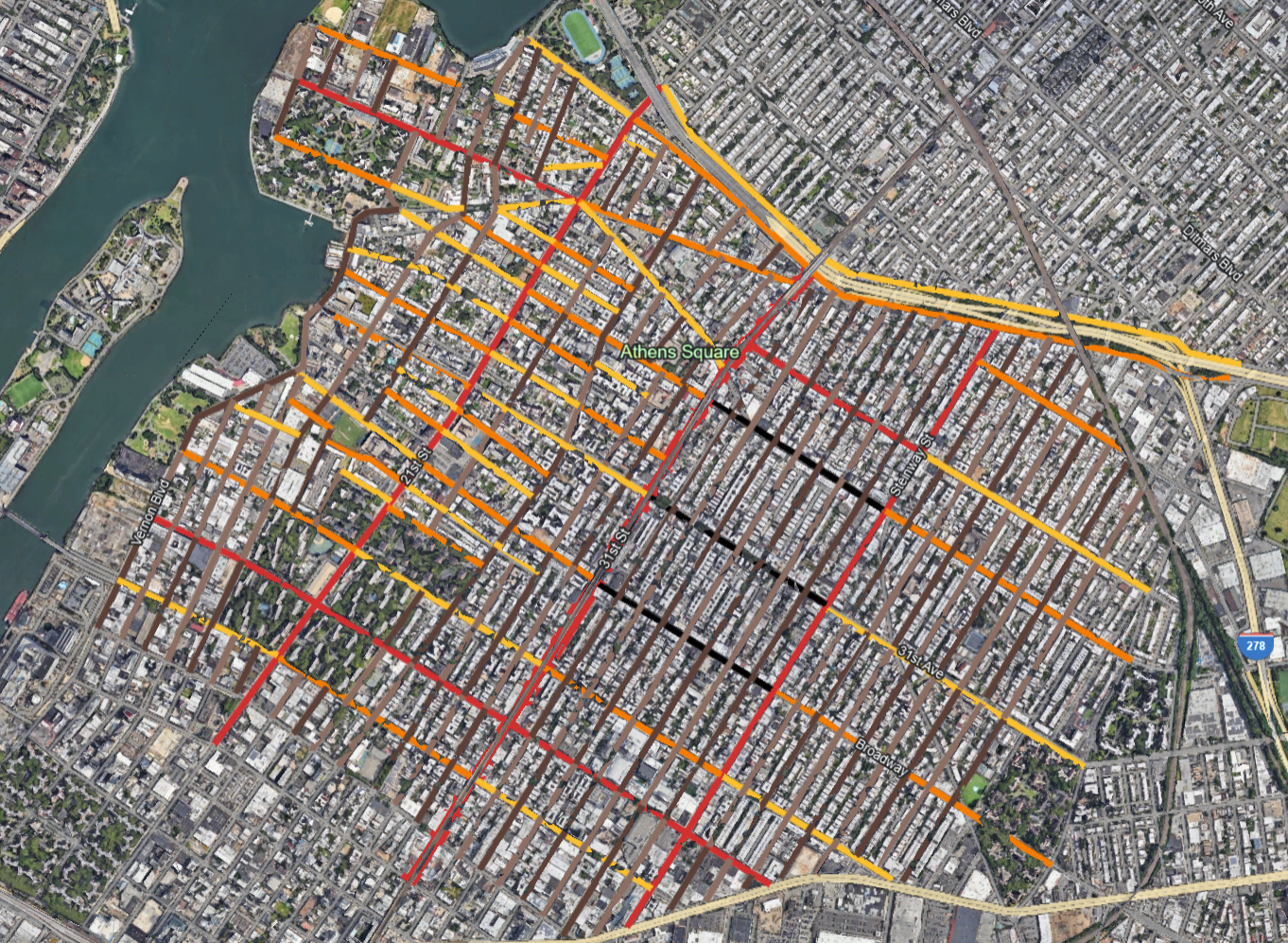
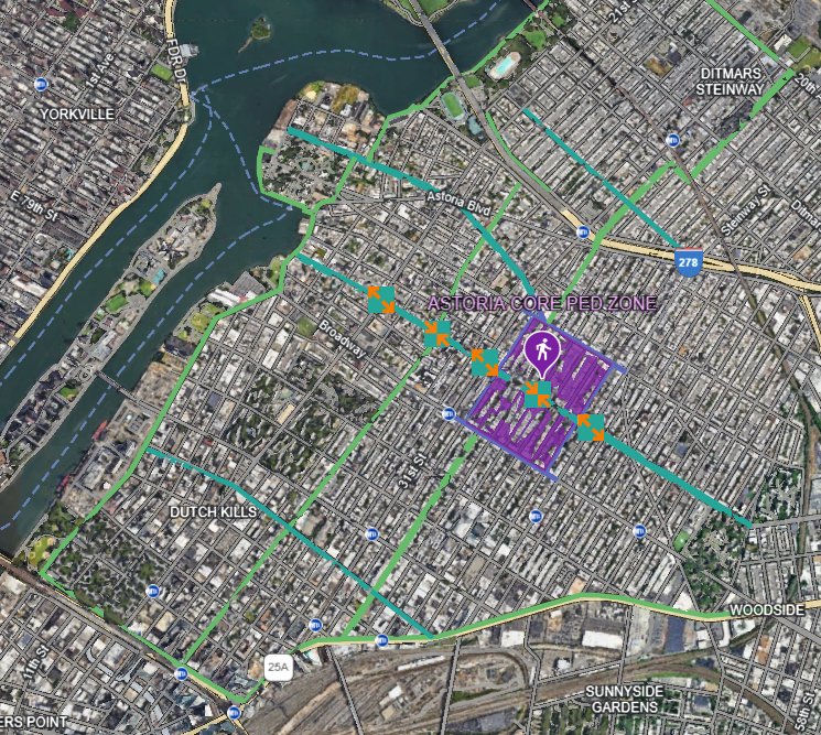
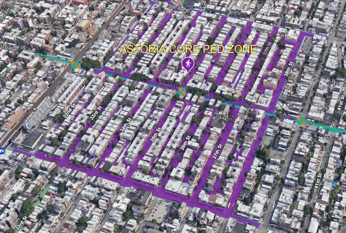
For the purposes of illustrating the Unclog Plan, we will use Astoria, Queens as an example.
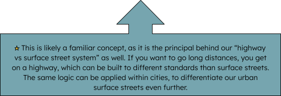
The first step in addressing the Car Problem in New York City is admitting a fundamental flaw at the heart of our urban design over most of the past century. At its most basic level, we have built our city so that cars can travel everywhere, at all times, via the most direct route.
Instead, we must begin strategically controlling the movement of cars, so that long-distance travel between neighborhoods (or further) happens on designated streets of our choosing and the more residential streets are protected from them.
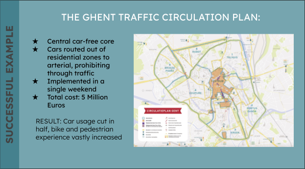
This is not hypothetical or untested. Consider the city of Ghent, Belgium:
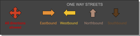
The majority of the work required to implement this plan was simply switching the direction of streets, utilizing easy to install signage. This ensures that drivers looking to traverse the city can only do so on designated routes, instead of cutting through anywhere.
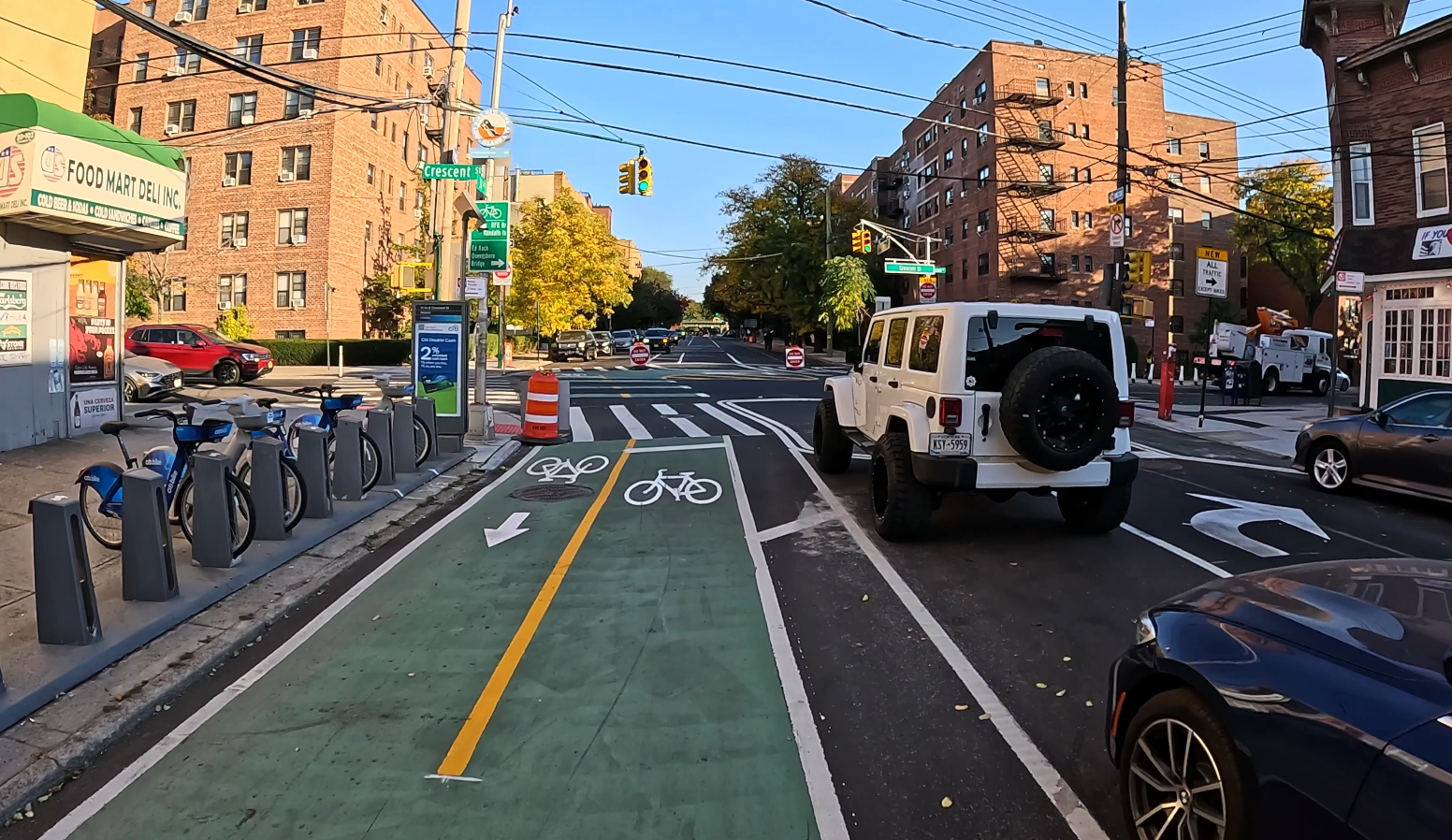
An example of directional switching currently in NYC
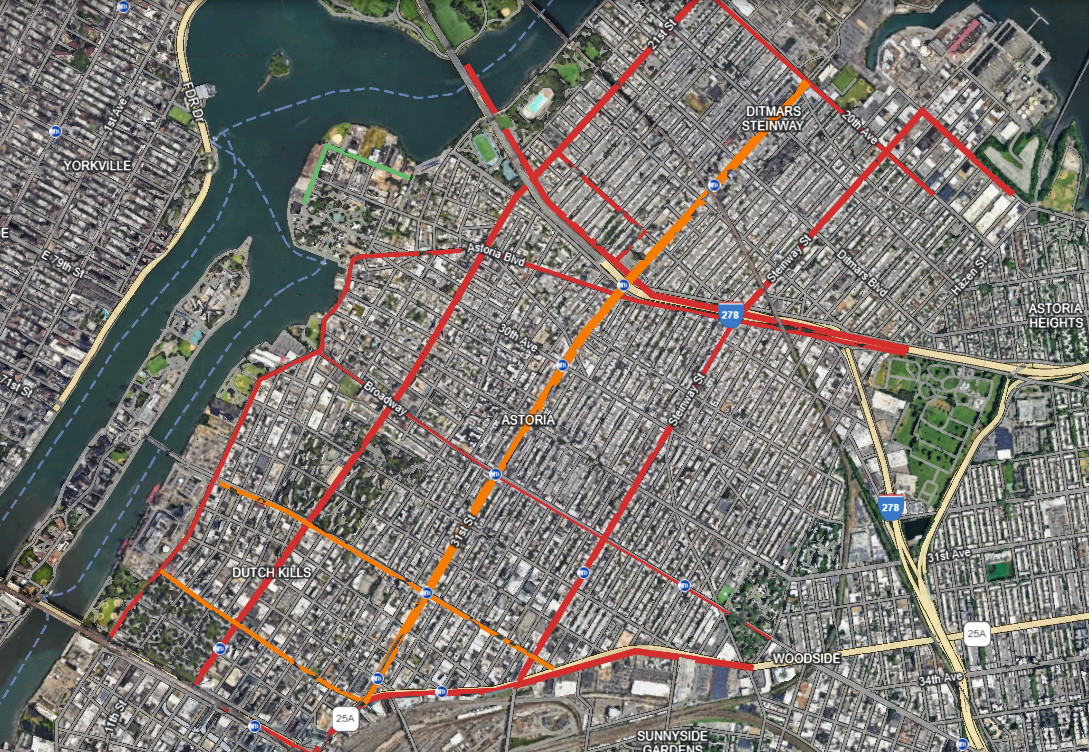
New York City is obviously a far larger city than Ghent, but the principle is the same, and the process of applying this logic to NYC begins with selecting the streets on which through traffic will be permitted. That is to say, which will allow long distance travel (between neighborhoods or long distance within a single neighborhood.)
After these streets have been identified, direction of travel on the remaining streets should be changed so that traffic is always routed back towards one of these thoroughfares. In this way, every point within the grid can still be accessed, yet only some of the streets are major traffic corridors.
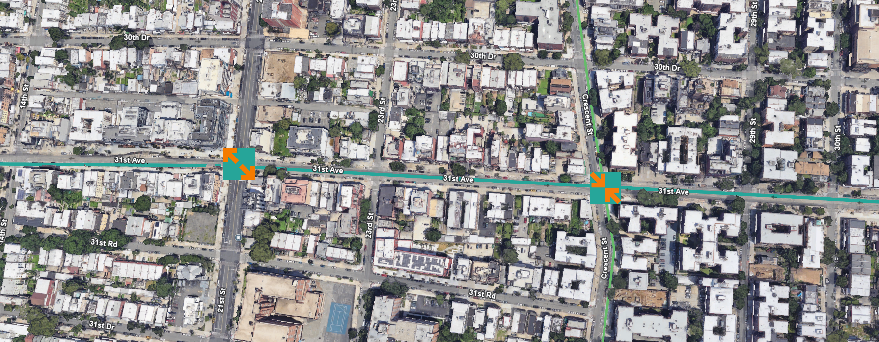
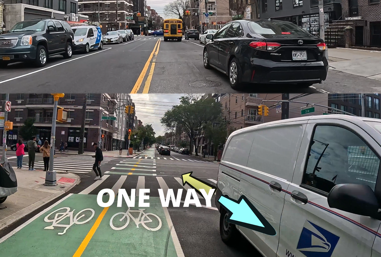
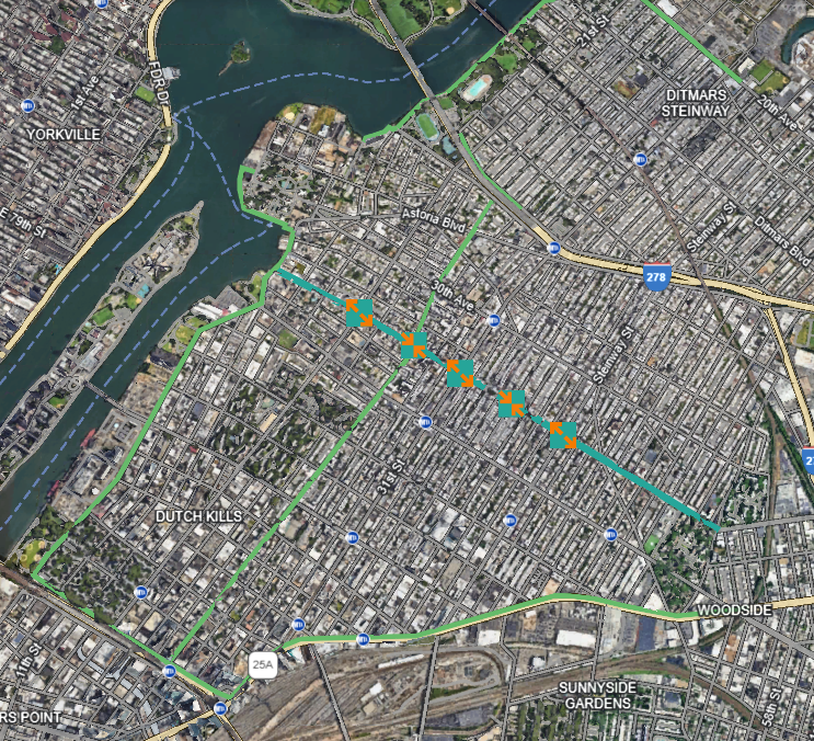
This process has already been implemented in small measures in NYC, most famously on the wildly successful 31st Ave, which reduced a 2-way (for cars) street down to 1, and then strategically switched the direction of travel every few blocks. This created a safer environment for every road user.
At the intersection with orange arrows the direction of travel flips
All vehicular based services (fire trucks, police vehicles, utility service vehicles, trash trucks, etc.) are still permitted and those that live on the street can still drive to it, but those that intend to use the street to drive long distances in a car, can not – and must choose a different route. Nonresident thru-traffic speed won’t be prioritized over resident safety.
The end result is a “Neighborhood Street” with virtually no motor traffic besides the occasional resident or delivery. This enormously benefits those that live on and near it. Suddenly, the residential Neighborhood Street is far quieter, easier to traverse, and more enjoyable for walkers and micromobility riders. This is how quality of life can be drastically improved for city residents.
Strategically alternating the direction of travel forces drivers to move towards the main car streets.
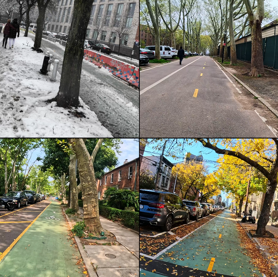
This also brings some streets that are currently 2-way down to 1-way. The reclaimed space can then be used for expanded sidewalks and pedestrian spaces, tree pits, bioswales for drainage, bike lanes, and many other more beautiful and beneficial purposes for residents.
It makes many trips by car less direct at the very beginning or end of a journey. This is intentional. Converting urban streets to indirect, less immediately accessible routes is not a weakness, it is a strength. It prioritizes local resident's quality of life by minimizing traffic.
In every residential neighborhood, where businesses and restaurants are largely clumped should be identified and the area should be pedestrianized. This improves business and tax revenue, by generating foot traffic, (the number one determinant of an urban businesses success.)
Contrary to outdated business “wisdom,” car parking is not a major determinant in urban business success, it is detrimental to it. It wastes extraordinary amounts of space and creates an unpleasant environment hostile to pedestrians. In the age of online shopping urban businesses can not compete on convenience and must instead compete with experience.
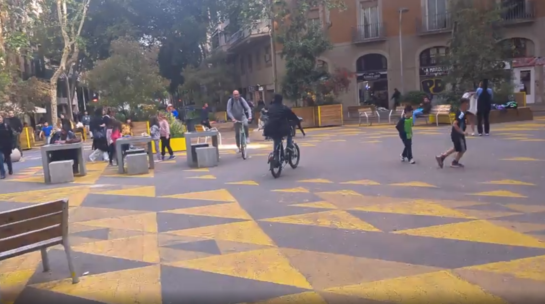
An example of a pedestrianized street in Barcelona
* Naturally, deliveries by truck and access to city services will be maintained, and bus service will be maintained (and flow far smoother.)
Access to parking for residents on the side streets can be maintained via a paid permit system if necessary to keep vehicle volumes extremely low in the pedestrianized zone. This will make parking for the residents nearby that do want to drive easier and less stressful and greatly reduce or eliminate much of the car traffic through residential streets as people circle the block looking for open spots.
The Pedestrianized core will also function as a central hub for a larger street design network of protected bike lanes and Neighborhood Streets.
|
CURRENT BIKE LANES |
WITH PED CORE + FEEDER LANES |
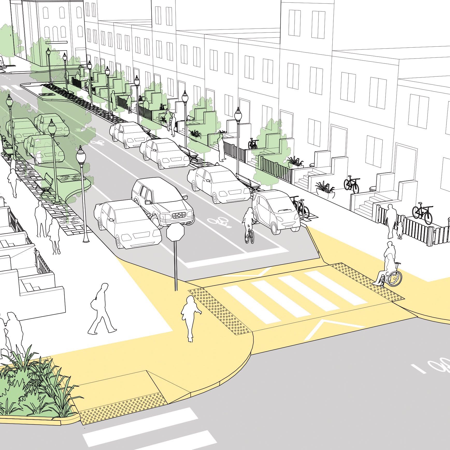
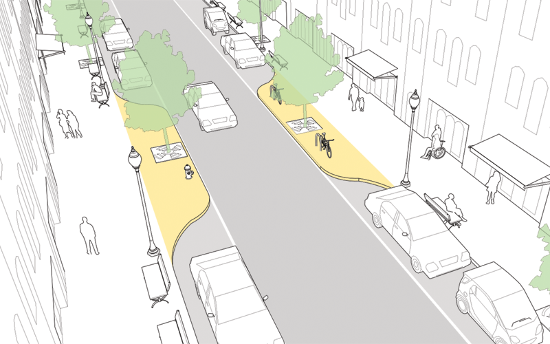
Daylighting is the process of keeping the space near crosswalks clear, so drivers and pedestrians can see each other. It is required by state law, but NYC has exempted itself from implementing it to maximize parking spaces. This leads to many unnecessary deaths, especially children who are not tall enough to see over car hoods, and often can not be seen by drivers before being hit. Every intersection in NYC will be daylit, enforced by filling the space with bike share racks, curbs, bioswales and small plants, or bollards to prevent car parking.
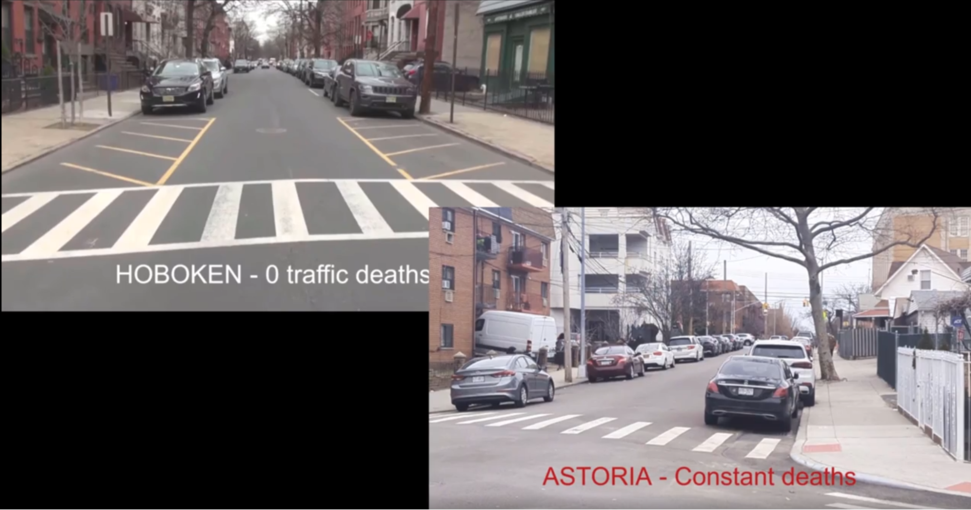
This was done in the city of Hoboken, and has led to a remarkable drop in traffic fatalities in all modes – pedestrians, cyclists and car passengers.
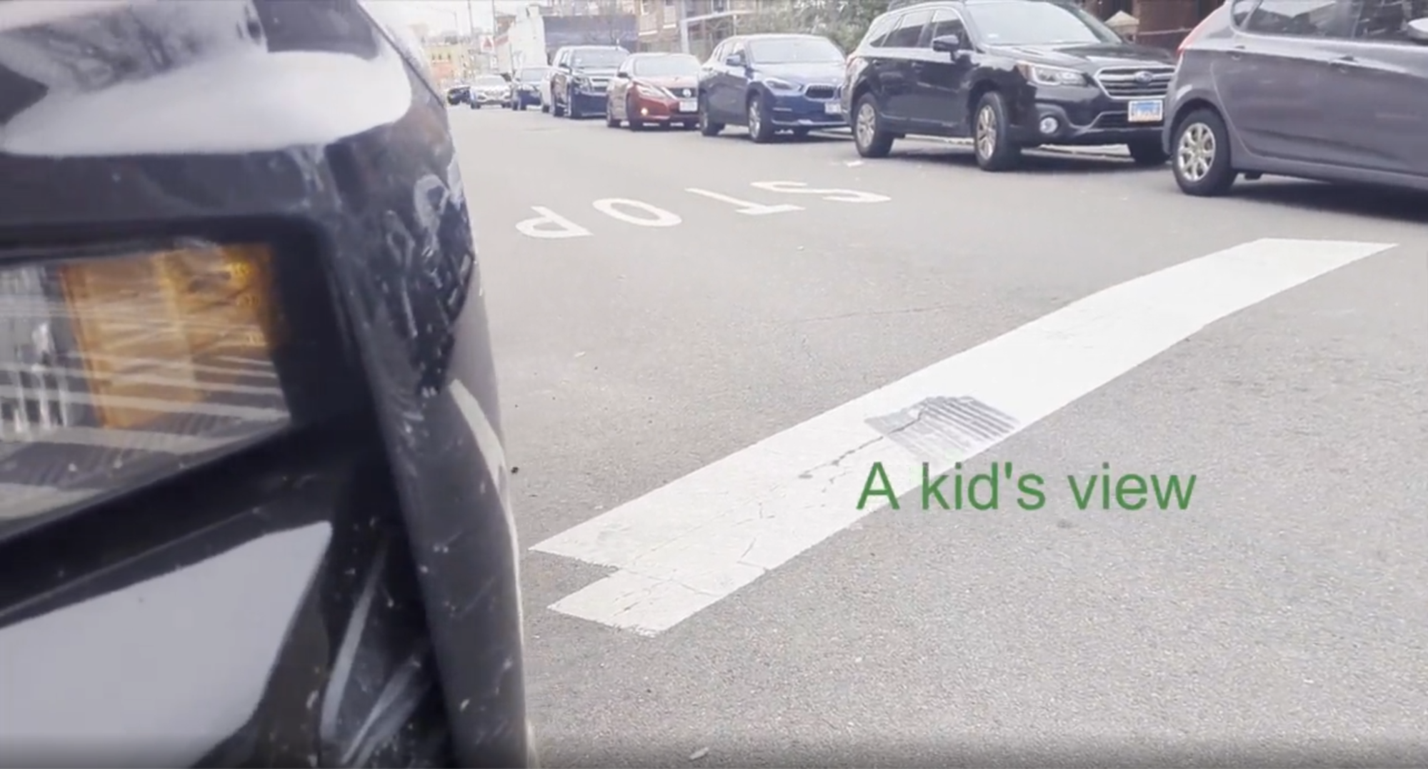
Being killed by a car is the #1 cause of death in children under 13 by a wide measure. Daylighting every intersection is not just a street treatment, it is a moral imperative.
Many other treatments will be widely used. These include:
|
BULB OUTS
REDUCE CROSSING DISTANCE, ENFORCE DAYLIGHTING
|
CHICANES
SLOW VEHICLES BY FORCING TURNS |
PINCHPOINT
MIDBLOCK NARROWING OF ROAD |
|
|
|
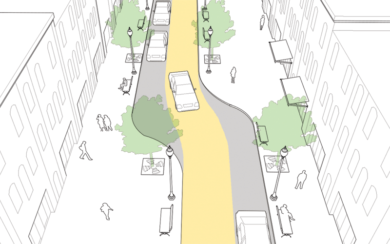
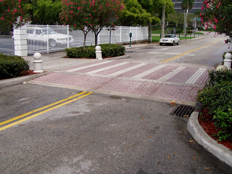
Raised continuous crosswalks slow cars at intersections and prioritize pedestrians
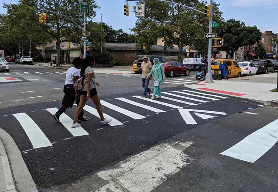
Nearly every intersection will have a leading pedestrian interval, to allow pedestrians to cross before car traffic is allowed to move.
|
|
|
In cases where this “slows down” traffic and makes drivers wait longer at lights this will be considered a good thing. Motor vehicle speeds (outside of emergency vehicles that can already skip lights, and buses) are the least important part of the city’s transportation system. Slowing down average car trip durations in favor of resident’s ability to cross streets safely and easily is a no brainer. It also further incentivizes non-car modes.
These treatments must be applied at scale, universally.
Our current approach of doing treatments in small numbers sporadically is like renting an apartment realizing the landlord didn't finish the floor renovations. Instead, there are unsafe conditions everywhere with nails popping up through the floorboard all over the place. In such a situation, nobody would go around bending a nail flat here and there and maybe covering another. We’d fix all the nails. We’d make the entire floor safe.
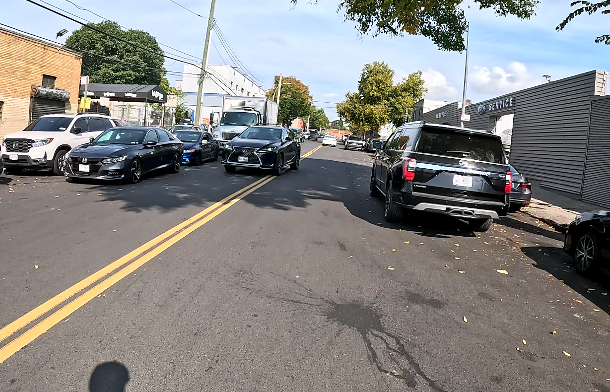
Far too many residential neighborhoods in NYC are overrun by cars, pushing out the vital functions of urban life. Kids can not play or have independence outside the home, residents are in danger merely walking outside, and fumes and noise permeate everything.
A typical NYC street, what a mess
Neighborhood streets fix these issues by removing all but the most necessary of vehicular travel. They still maintain access for all vehicular based services and car access for residents, yet prevent through traffic via the aforementioned traffic diverters and direction switching.
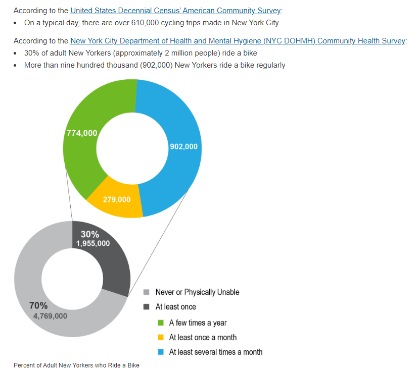
Neighborhood Streets also encourage and enable urban appropriate methods of transportation. According to the city’s own data, there are typically over 600,000 trips taken by micromobility per day, and nearly 1 in 8 residents ride regularly.
This is despite less than 1% of the road surface being dedicated to micromobility, and a general feeling among many that the activity is unsafe. With infrastructure that actually allows all ages and abilities to participate (which our bike lanes are supposed to be) this number will be exponentially higher.
These streets will also enable freedom of movement for many who are typically excluded now, including children, the elderly, and disabled who will in the coming years have access to long range electric wheelchairs that can serve as full transportation systems if they have access to safe, car light infrastructure.
The climate crisis, livability standard, and basic fairness require us to make the city safe, appealing, and accessible for these groups as well.
To join the list of those in support of this plan, please sign it or provide feedback here.
If you are a political figure, candidate, or staffer for one and want to be included on the endorsements for this plan, please reach out to micromobilityNYC@gmail.com
This plan will be socialized to all interested parties and hosted on https://micromobility.nyc as well.